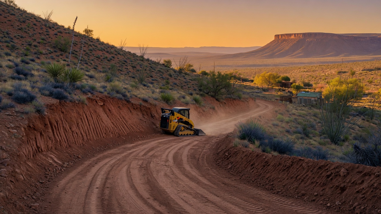
Driveway cut and fill calculator
Enter the length, width, elevation change and the grade you want. The calculator reports the natural grade, whether it already meets your target, how many cubic yards of cut and fill a straight wedge-shaped regrade would take, and how long the driveway would have to be to reach the target grade with no earthwork at all.
Result
- Natural grade
- Within target grade?
- Cut
- Fill
- Total earthwork
- Length to reach target grade
Wedge model on a straight, uniform slope, balanced on site (half cut, half fill). In-place volumes; hauled or compacted volumes differ. A grading contractor with a level, or a drone survey, produces the real cut and fill plan.
How this is calculated
Natural grade. Grade is rise over run expressed as a percentage: a driveway that climbs 10 ft over 200 ft is at 5 percent. The calculator takes the absolute value of the elevation change, so a driveway that drops to the house is treated the same as one that climbs.
When no earthwork is needed. If the natural grade is already at or below your target, the driveway can follow the ground. Cut and fill for grade are reported as zero. You still clear, shape a crown and ditches, and surface it, but you are not moving dirt to change the slope.
The wedge. If the ground is steeper than the target, the far end has to come down (or the near end come up) by the difference between the two grades multiplied by the length. On a straight run of uniform slope, the material between the natural ground line and the new design line is a triangle in profile: zero depth at one end, depth h at the other. Extruded across the driveway width, that triangle is a wedge whose volume is half of length times depth times width. Dividing by 27 converts cubic feet to cubic yards.
Volume (yd³) = ½ × Length × h × Width ÷ 27
Cut versus fill. A balanced regrade pivots the design line about the middle of the run: the uphill half is cut, the downhill half is filled with that material, and the volumes are equal. The calculator reports that split. If your contractor instead cuts the whole wedge and hauls it off, or imports fill for all of it, the one-sided volume is the total earthwork figure, not the cut figure.
Length to reach target grade. Dividing the elevation change by the target grade gives the run that would carry the same rise at that grade with no cut or fill. If it is much longer than your straight-line distance, the answer is a longer alignment, a switchback, or accepting a steeper grade, not more dirt.
Cochise County defaults
- Target grade: 8 percent. The county's Road Design and Construction Standards (2017 edition) set a maximum of 7 percent on arterial and major collector roads and 10 percent on minor collector and local roads for runs not exceeding 600 ft, with a 0.25 percent minimum for drainage. The county does not set a maximum for the private portion of a driveway on your own parcel. For a gravel or compacted-caliche surface, about 10 percent is the practical ceiling before the surface washes and tires spin.
- Width: 14 to 16 ft. The county's residential driveway handout gives a preferred width of 16 ft and a range of 12 ft minimum to 30 ft maximum for the apron where it meets a county road. Count the vehicles that will come up it before the house is done: drill rig, septic tank truck, water hauler, lumber and concrete trucks.
- Permit. A right-of-way permit is required before you build the connection to a county road; the apron follows Standard Detail CC205-1 and needs a minimum 18-inch culvert where a drainage structure is required. Highway and Floodplain Department, 1415 Melody Lane, Building F, Bisbee; 520-432-9300; highway@cochise.az.gov. A driveway that stays on your parcel and out of the public right-of-way is on the county's list of single-family residential work that typically needs no building permit; floodplain and grading rules can still apply.
- Elevation data. For a first pass, USGS 3DEP lidar-derived elevation models (including the seamless 1-meter DEM where available) give the elevation at each end of the route. For the number you build to, use a level and grade rod or a drone photogrammetry survey of the actual route. Phone GPS altitude is not good enough.
- Soil. Much of the valley floor has cemented caliche within a few feet of the surface. A cut through it needs a ripper or breaker, and the time and cost per yard are not what the same volume of sandy loam costs. Broken caliche compacts into a usable running surface, which can offset the haul.
A worked example
A 300 ft driveway, 14 ft wide, climbing 40 ft from the road to a bench where the house pad goes, with an 8 percent target. Natural grade: 40 ÷ 300 × 100 = 13.3 percent, over target. Depth of the wedge at the far end: (13.3 − 8) ÷ 100 × 300 = 16 ft. Volume: ½ × 300 × 16 × 14 = 33,600 ft³, or 1,244.4 yd³ total, reported as 622.2 yd³ cut and 622.2 yd³ fill. Length to hit 8 percent without earthwork: 40 ÷ 8 × 100 = 500 ft. A 16-foot-deep cut at the top of a 300 ft drive is not something you want; the 500 ft alignment, or a switchback, is the real option.
The default inputs, 200 ft, 14 ft, 10 ft of rise, 8 percent target: natural grade 5 percent, within target, 0 yd³, and 125 ft would already carry that rise at 8 percent.
What this does not cover
- Real terrain. The wedge assumes a straight run on a uniform slope. A route that crosses a wash, a hump or a side-slope needs cross-sections every 25 to 50 ft, which is what a grading contractor or a drone survey produces.
- Cross-slope, crown and ditches. A rural driveway needs 2 to 5 percent cross-slope and drainage on the uphill side; that earthwork is not in the figure.
- Shrink and swell. Excavated material bulks when loosened and loses volume when compacted as fill. The calculator reports in-place volume; your contractor applies their own factors for haul and compaction.
- Surfacing. Aggregate base, chip seal or compacted caliche is a separate volume on top of the finished grade.
- Culverts, low-water crossings, erosion control and the apron at the county road.
- Cost. Per-yard rates depend on access, soil, rock and how far the contractor's machine travels to reach you. Get a bid against a plan.
- Curves and switchbacks. Enter the length along the path; the volume still assumes the grade is uniform along it.
Sources
- Cochise County — Residential Driveway Handout (PDF) — widths, radii, spacing, drainage, right-of-way permit, Highway and Floodplain Department contact.
- Cochise County — Engineering and Natural Resources — right-of-way and encroachment permits, driveway handouts.
- Cochise County Road Design and Construction Standards and Specifications for Public Improvements, 2017 edition (PDF) — maximum and minimum road grades, driveway section, Standard Details CC205-1 to CC205-4.
- Cochise County — Permit Exemptions — driveways outside a public right-of-way listed among residential work that typically needs no building permit.
- USGS 3D Elevation Program (3DEP) — lidar-based elevation data and digital elevation models.
Related guides
FAQ
What is a good maximum grade for a gravel driveway?
Grade is rise divided by run. 8 percent (8 feet of rise per 100 feet) is comfortable for a gravel driveway in any weather; around 10 percent is the practical maximum before loose surfacing starts to wash and spin. For comparison, Cochise County's road standards cap county local roads at 10 percent for runs of up to 600 feet and arterials at 7 percent.
How do I find the elevation gain on my land without a surveyor?
A builder's level or rotary laser with a grade rod gives rise directly between two stakes. A drone photogrammetry survey gives a full elevation model of the route. USGS 3DEP lidar-based elevation data gives a free approximation for planning. Phone GPS altitude is usually off by more than the rise you are measuring.
Does Cochise County require a permit for a driveway?
A right-of-way permit from the Highway and Floodplain Department is required before building the connection to a county road, and the apron must follow Standard Detail CC205-1. Driveways on your parcel and outside a public right-of-way appear on the county's list of single-family residential work that typically needs no building permit; zoning, floodplain and grading rules can still apply.
Gear for this job
Affiliate links — AZ Land List may earn a commission from purchases at no extra cost to you.
-
AmazonSuper Geotextile woven driveway fabric, 12.5 × 30 ftSeparation layer between native soil and base rock so the aggregate does not sink into soft ground.
-
AmazonBosch GRL900 rotary laser level kitSelf-leveling rotary laser with tripod, grade rod and receiver. Measures the rise between stakes that this calculator asks for.
-
AmazonLAND 100 ft open-reel fiberglass tapeFor measuring the run along the path and spacing grade stakes.
Buying, or already own, the parcel?
The Cochise County Land Owner Pack has every vacant parcel with zoning, road access, wells and flood flags. The day-one gear list is what to bring the first time you drive out. And for a contractor quote on clearing, grading or a driveway in Cochise County, Cochise Land Management refers you to independent, ROC-licensed contractors.
Find your county’s assessor, zoning and treasurer pages →